The Histories a UXO Risk Assessment can Uncover on Coastal and Waterway Sites
A coastal or waterway site can appear to present little concern when it comes to UXO. A beach frontage, a stretch of river or a set of mudflats does not carry the obvious wartime associations of a former airfield or a bombed city centre. The recorded history can reinforce that impression, with few documented incidents.
But that is where these environments can be misleading. The absence of a visible history does not mean the absence of risk. In coastal and waterway settings, the gap between the two can be significant.
A UXO risk assessment closes that gap. It moves a project away from assumptions based on the surface record and towards an evidence-based understanding of what actually happened on and around the site.
Across a range of coastal and waterway projects, our risk assessments have uncovered fascinating histories that were not apparent at first glance. The examples below demonstrate what that process can reveal.
The records cannot be taken at face value
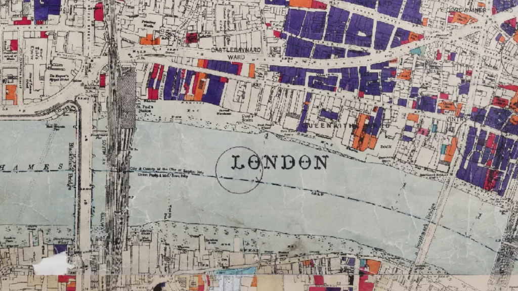
UXO risk assessments rely heavily on wartime records, including bomb maps, incident reports and UXB registers. In coastal and waterway environments, those records can be particularly unreliable. An assessment that takes them at face value risks understating the true level of risk.
One of the clearest indicators is when the records do not agree with each other. We have seen this directly during our own assessments.
On a coastal defence scheme along a 4km stretch of Worthing Beach, our review found one source recording 54 HE bomb strikes within 500m of the site. A separate bomb plot map recorded a further 42 strikes within the same radius, but in entirely different locations.
At Mayflower Park waterfront in Southampton, we worked from three separate bomb maps, each of which plotted the same raids in different locations. Taken together, the maps recorded 48 HE strikes and a parachute mine within 300m of the site.
When the official records cannot agree with themselves, it cannot be treated as a precise account of what happened. The safer conclusion is that the true picture is less certain than the numbers suggest, and that some incidents may not have been recorded at all.
Water erases the evidence
There is a physical reason why these records can be so incomplete. A bomb striking open ground may leave a crater that can be seen, investigated and recorded. A bomb entering a river, tidal flat or beach at high tide can disappear beneath the waterline almost immediately, leaving no visible crater and potentially no report. Any entry hole in sand or mud may infill within hours.
This is why a low recorded bomb count can be misleading, and it is something our assessments are designed to account for.
At Strand Quay in Rye, while working on a river mooring and pontoon scheme, our assessment identified at least 11 raids within 500m. However, the majority of the site was occupied by the River Brede itself. Any bomb that entered the river at the time would have disappeared without leaving a visible trace. The true number of strikes affecting the site was therefore almost certainly higher than the historical records indicated.
A robust risk assessment considers the environment in which ordnance fell, not simply the number of incidents that were recorded. In these settings, the water itself may have been concealing evidence from the moment the ordnance entered it.
When the ground made recovery too difficult
Where water can hide the fact that a bomb fell, the ground beneath it can preserve what remained. Soft, waterlogged sediments allow items to bury themselves and, in some cases, made recovery difficult or impossible at the time.
One of the clearest examples we’ve seen came from a riverfront investigation at Coronation Road in Bristol. Our review of the written records identified a 50kg unexploded bomb in the eastern section of the site that had never been removed. It had been left in place because the muddy, waterlogged riverbank made retrieval too difficult. A further HE UXB was recorded in the western section.
This is not an estimate based on what happened nearby. It is a bomb documented on the site and never dealt with.
The behaviour of soft ground can also help explain the J-curve effect. When a bomb strikes the ground at an angle, it can travel laterally underground before coming to rest. On a riverbank, this means an item entering the ground could feasibly come to rest beneath an adjacent road or hardstanding, some distance from the point where it first entered.
The visible point of entry, therefore, may not tell the whole story.
Ordnance does not always stay where it landed
Even once an item has come to rest, a waterway environment does not necessarily hold it in place. In coastal and waterway settings, the point of initial impact is often different from the present-day resting location.
Several factors drive this. The movement of water, whether tidal or flowing, can gradually shift items over time. The looser sediment and silt found in these environments offers far less resistance than firmer land-based ground such as sands, gravels and clays, allowing ordnance to migrate more easily. Marine dredging, vessel movements and changing water levels can each contribute as well. Even a watercourse that appears dry for much of the year, such as a brook or creek that fills only during periods of heavy rain, can move material when it is in flow.
The implication for a risk assessment is that the historical record of where an item fell may not correspond to where it lies today. An assessment therefore needs to consider not only where ordnance entered the ground, but how the environment may have moved it since.
The risk extends beyond German bombs
Many people’s minds often go straight to German airdropped bombs when they think about UXO risks in the UK. On coastal and waterway sites, however, our assessments consistently uncover other potential sources of UXO risk that can be just as significant.
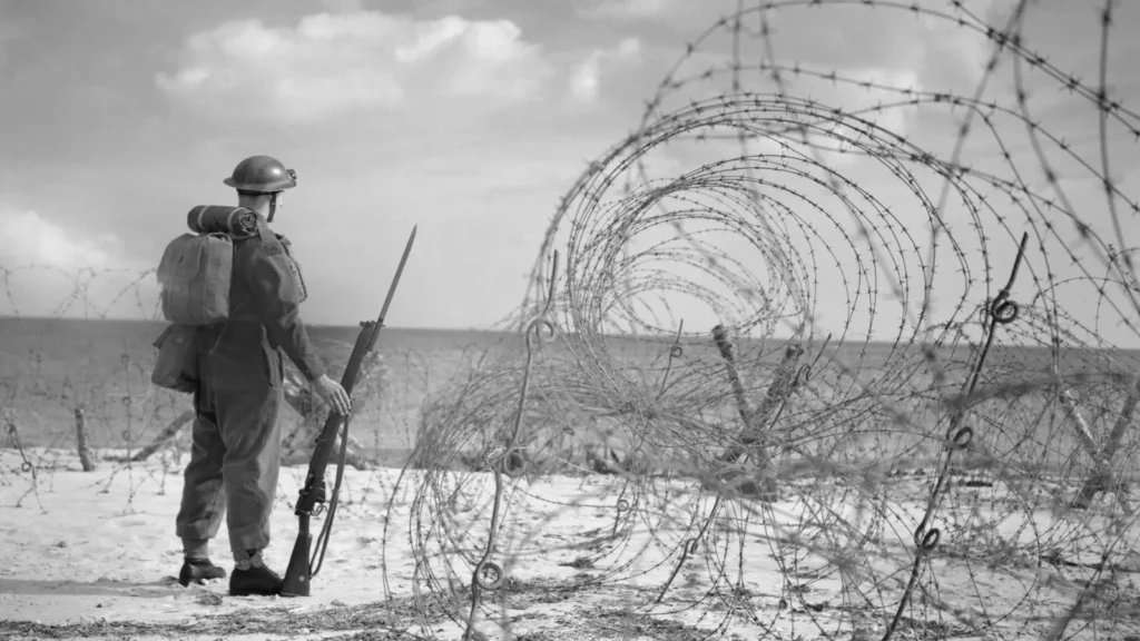
The UK coastline was not simply a target. It was fortified, defended and actively used throughout the war.
At Mundesley on the Norfolk coast, our assessment identified an artillery battery, spigot mortars, stored ammunition and, on the cliff top, a former minefield. Coastal erosion over the decades since could have carried mines from it down onto the beach.
At Strand Quay, we found evidence that a bridge beside the site had been wired with demolition charges to prevent a German crossing. There is a credible possibility that those charges were never fully recovered.
At Mayflower Park, our assessment established that the adjacent park had been requisitioned as a D-Day embarkation point, with a slipway constructed by 1943. This created a credible pathway for armed personnel to have disposed of surplus ordnance informally into the River Test. There was also the potential for unexploded anti-aircraft ammunition. Where Heavy Anti-Aircraft batteries were active, shells that failed to function correctly could fall back to earth, creating another potential source of UXO risk.
What links these examples is that they all stem from how the UK fortified, defended and used its own coastline during the war. Artillery positions, defensive demolition charges, informal disposal by our own forces and anti-aircraft ammunition each leave a distinct trace, and none of them would surface in an assessment focused only on the bombing record. On coastal and waterway sites in particular, this home-front and defensive history can carry as much UXO risk as the raids themselves.
What the assessment produces
In each of these cases, the history that mattered was not visible from the surface. In several, it was not apparent from the recorded bomb count either.
Yet every one of these sites returned a Moderate Risk rating across its water-based or intertidal area. Each assessment then informed mitigation proportionate to the risk identified, ranging from UXO safety awareness briefings and intrusive surveys of pile positions to EOD engineer supervision.
That is the value of a UXO risk assessment. It takes a site that may appear unremarkable and establishes what genuinely happened there. It allows risk to be managed on the basis of evidence, rather than on assumptions drawn from an incomplete record.
What to do next
If you are planning works on a flood defence scheme, tidal infrastructure project, managed realignment scheme or any development involving ground disturbance in a coastal or waterway environment, a UXO risk assessment should form part of your programme from the outset, before groundworks begin.
The narrow survey windows and specialist methodologies these environments demand can be managed effectively when UXO is considered early. They become considerably more difficult to work around when potential risk is identified late in the programme.
Brimstone provides UXO risk assessments, non-intrusive and intrusive surveys, and on-site support for coastal and waterway schemes across the UK.
To discuss your project, contact us on 020 7117 2492 or at enquire@brimstoneuxo.com.
For regular updates, project insights and industry guidance, follow Brimstone UXO on LinkedIn, Facebook, Instagram, and YouTube.
"*" indicates required fields