Ukraine_
CASE STUDY
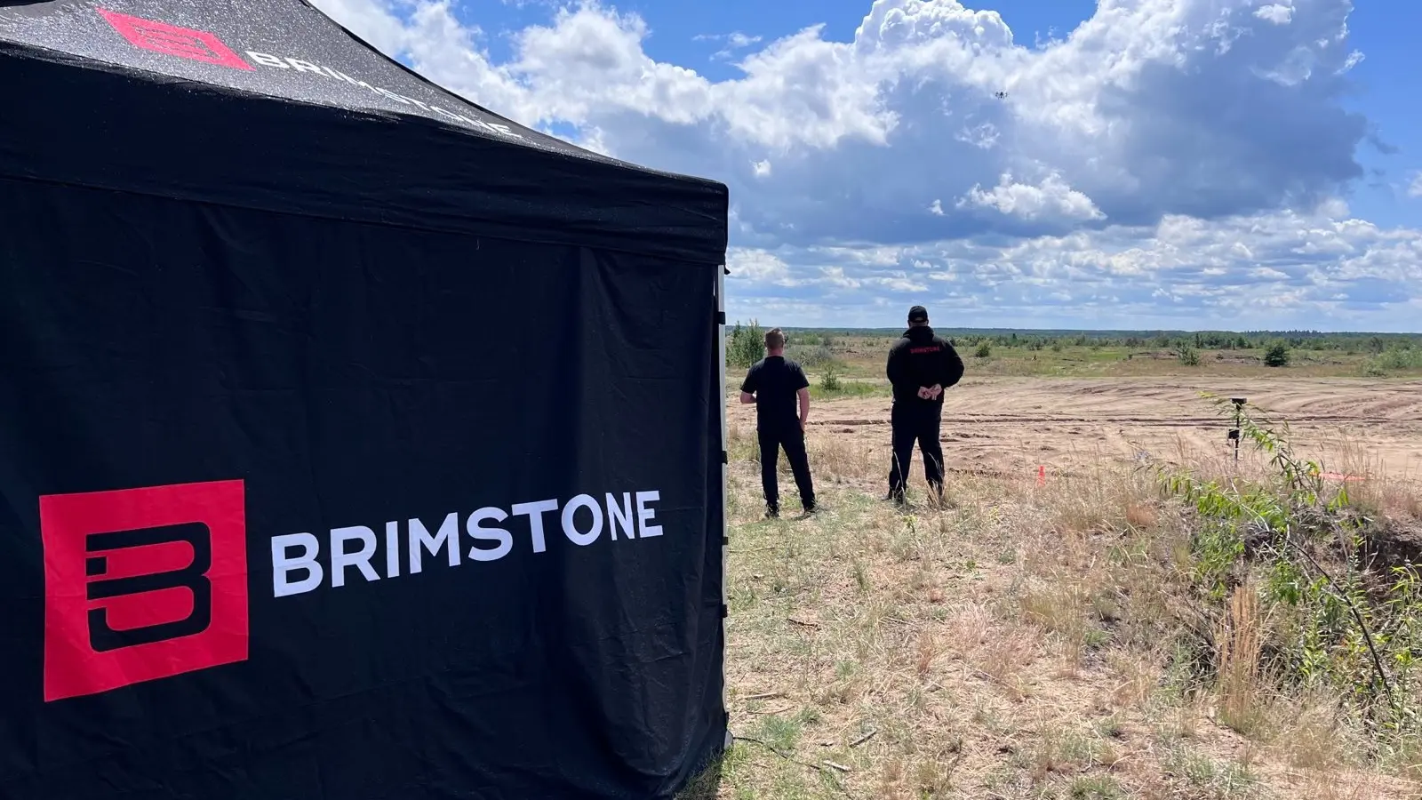
At the invitation of the United Nations Development Programme, we deployed a team to Ukraine to demonstrate our drone surveying capabilities.
Ukraine has been impacted by unexploded ordnance (UXO) for decades. This already dire situation has been exacerbated by the Russian invasion and ongoing war, particularly affecting the safety and livelihoods of rural populations.
Given the scale of contamination, which could take decades to clear, there was a pressing need to explore alternative ways to accelerate land release in Ukraine.

Deploying our team to Ukraine
It became clear that in order to foster economic growth and create safe conditions for people to return to their homes and livelihoods, an in-depth analysis was required, especially on agricultural land suspected to be contaminated by landmines and explosive remnants of war (ERW). Mapping the extent of contamination and understanding its socio-economic impact would be crucial for effective demining activities.
Recognising the potential of Unmanned Aerial Vehicles (UAVs) combined with machine learning to enhance the efficiency and effectiveness of demining efforts, the United Nations Development Programme (UNDP), at the request of the Ministry of Economy of Ukraine, invited us to showcase our UXO surveying capabilities.
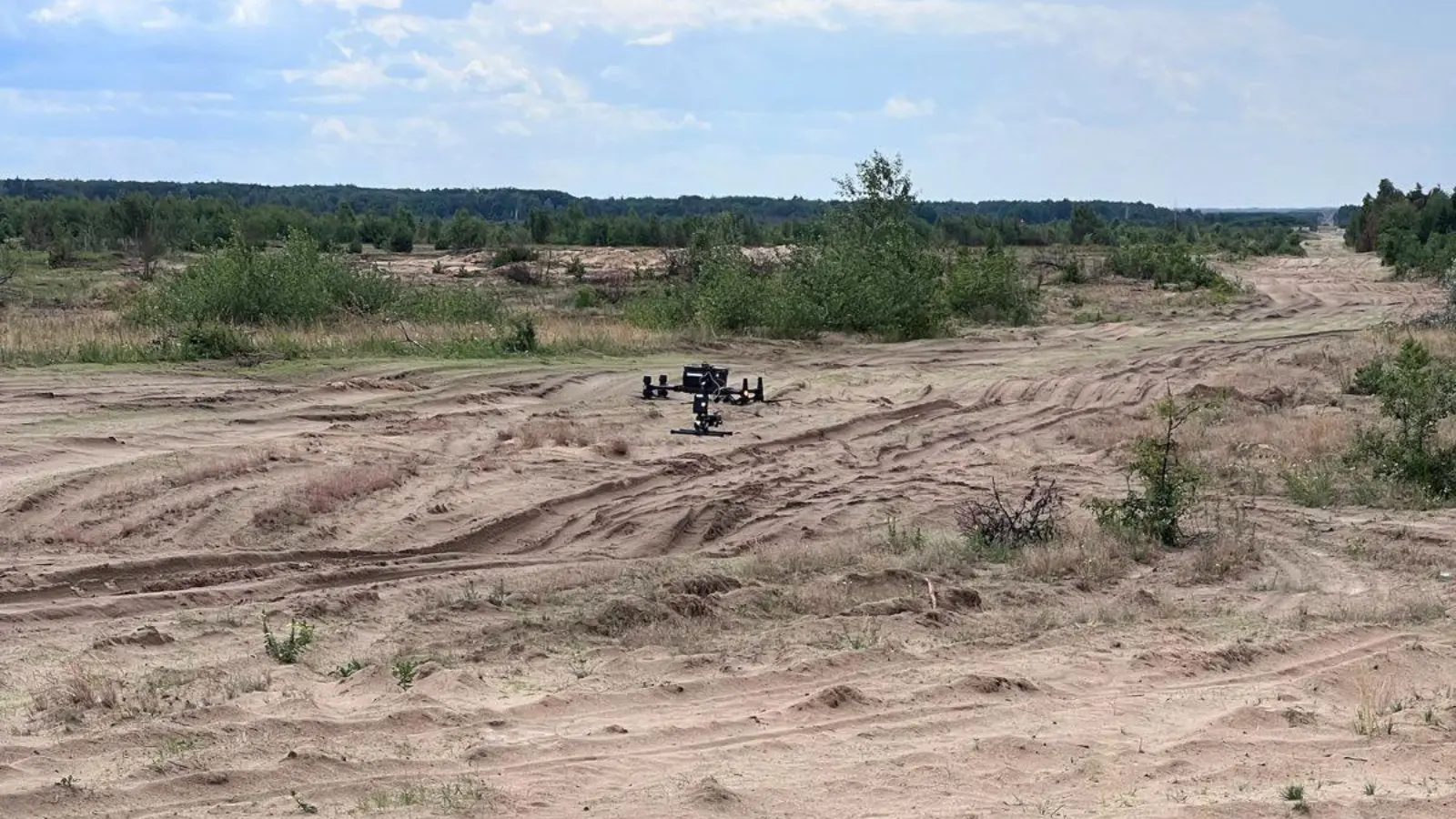
Our primary objective was to demonstrate the functionality of our UAV system in a selected pilot area. Within a tight five-hour time frame, our team accomplished various tasks, including setting up stations, conducting mission planning, performing photogrammetry and LiDAR data collection, and subsequently using the collected data to plan the magnetometry survey.
Photogrammetry survey
The first phase of our demonstration involved conducting a photogrammetry survey of the area to capture comprehensive site details and gain insights into the terrain. Mission planning was meticulously carried out for the expansive 28-hectare area. The survey methodology included dividing the site into sections and capturing images using the payload attached to the DJI M300rtk. Third-party software was then utilised to mark coordinates and measure the length, height, and volume of specific objects of interest within the images. This approach enabled the mapping and identification of potential obstacles, such as dense vegetation, which could inform the flight planning process for the magnetometry survey further down the line.
Upon a preliminary review of the data, our team promptly detected several anomalies resembling VTMA-5 anti-tank mines. This was the surrogate data that our team had deliberately placed to demonstrate how our UAVs pick up anomalies, proving the systems work.

Utilising LiDAR technology
Following the photogrammetry survey, we deployed an additional payload to conduct a LiDAR survey. This enhances the survey process by providing detailed information that may not be visible in traditional two-dimensional ortho-mosaic imagery. LiDAR allows for the identification of intricate details such as powerlines, pipelines, river flows, and foliage. It also captures precise elevation and surface information.
The integration of LiDAR with photogrammetry creates a synergistic effect, delivering an enhanced topographic survey that combines the strengths of both technologies. The result was a comprehensive dataset that enabled detailed analysis and accurate representation of the surveyed area.
Magnetometry data
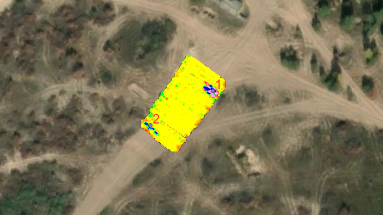
The final stage of the demonstration was a magnetometry survey. Initially, a raw magnetic field false colour map was generated from the data we collected, displaying the magnetic field variations across the surveyed area. Subsequently, data noise reduction and filtering techniques were applied, resulting in the generation of a residual magnetic field image, which helped isolate and highlight the subtle variations in the magnetic field.
A final round of data processing was then carried out, with extensive cleaning, filtering, and correction processes employed to refine the dataset. Through these rigorous procedures, analytical signals were selected, which exhibited magnetic signatures resembling those of known UXO. These selected analytical signals represented the magnetic anomalies of interest, indicating the potential presence of unexploded ordnance.
The false colour maps generated provide a clear visual representation of the identified targets, illustrating their strength measured in nanotesla per meter (nT/m). The intensity of the magnetic signals in these false colour maps corresponds to the magnitude of the anomalies, enabling a better understanding of their characteristics and potential significance.

Project conclusion
We are proud to have been involved in this work in Ukraine with the UNDP, demonstrating our cutting-edge technology and unwavering commitment to public safety. Our comprehensive surveying efforts, encompassing LiDAR, photogrammetry, and magnetometry have provided invaluable insights and demonstrated the effectiveness of UAVs for UXO detection.
As we move forward, armed with the knowledge and data we’ve acquired, we are well-prepared to assist in making informed decisions regarding the surveyed area.
Need help with UXO but not sure where to start?_
Answer a few quick questions and we’ll point you in the right direction.